Gyeryongsan National Park
Hiking Trail
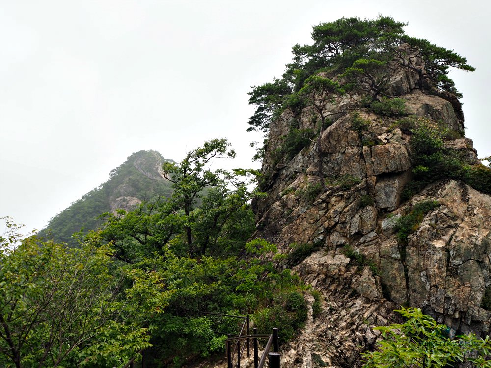 Gyeryongsan National Park Hiking Trail - Sambulbong Peak
gyeryongsan National park hiking trail
Gyeryongsan National Park Hiking Trail was my plan to explore and enjoy the national park quickly. I thought this trail is the best see the exciting areas of the whole park.
This article suggests the best way to hike the park. So, you will see the major points of my trail when I explored this mountain park.
Here are the trail points...
- Donghaksa Bus Terminal
- Mungolsamgeori Point
- Geunbaejae Point
- Nammaetap (Pagodas Point)
- Sambulbong Peak
- Gwaneumbong Peak
- Eunseok Falls
- Donghaksa Temple
Now, please let me describe the trail in details. It may look complicated, but it is not. In fact, I just started walking and simply follow the signposts at significant places.
I strongly recommend that you take this trail because it is not very demanding. Then come down and drop by Donghaksa Temple area to enjoy it and relax.
Donghaksa Bus Terminal
This is where you get off if you are coming from Daejeon City, which only takes around 40 minutes. (By the way, I decided to stay overnight in Daejeon City because I was excited to explore its sights and museums the day before I climb the Gyeryongsan National Park.)
The Trail
From the bus terminal, walk for about five minutes then turn left to start your ascension. (You will notice the concrete bridge on your left, the opposite side of your starting point.)
Before turning left, you will also see the signpost of the trail. C'mon, let's go. You can do this...
Mungeolsamgori
As you continue ascending, you will reach Mungeolsamgori Point which is around 1.7 kilometers from where you started to climb.
The slope of the trail is not steep; therefore anybody will not experience any difficulties. In fact, this part is the easiest. You will start to enjoy the protective canopy of the tall trees from the sunlight.
Although it was 30 degrees Centigrade, I couldn't feel the heat as nature provided that comforting temperature and beauty.
Along the way, brooks, rocks of various shapes, dead trees, fallen dark brown leaves, and sounds of crickets and birds are mostly the things I heard and experienced.
Geunbaejae Point
You will find sitting areas and an observation deck here. It is around 0.8 kilometer from Mungeolsamgeori Point.
What you will see is another trail that leads towards the other side of the park--a descending path.
From this point, you will start to make a little bit of steep climb that will bring you to the famous "Brother and Sister Pagodas".
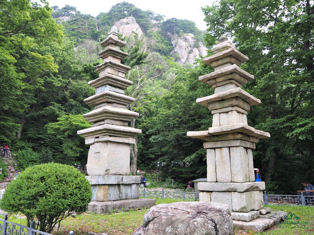 Nammaetap (Pagodas) at Gyeryongsan National Park
Brother and Sister Pagodas
It's called that way based on a legend. There is a twin pagoda on this point where you can also find a temple area.
Most hikers take time here to eat their food or light snacks. I had my lunch here and took some photos of the cultural treasures--pagodas, temple, carved (unfinished) granite stone turtles.
This resting area has lovely views of the mountains above and the valleys of the eastern part of the park.
Sambulbong Peak
From Nammaetap Pagodas (Brother and Sister Pagodas), start your steeper (not so steep) climb to reach Sambulbong Peak (three Buddhas peak).
This is only 0.3 kilometers from the two pagodas where you left.
Sambulbong offers impressive views of the surrounding peaks and the valleys on both sides of the mountain park.
Sadly, it was a bit cloudy when I climb but it didn't stop me from taking a video and lots of photos.
Gwaneumbong Peak
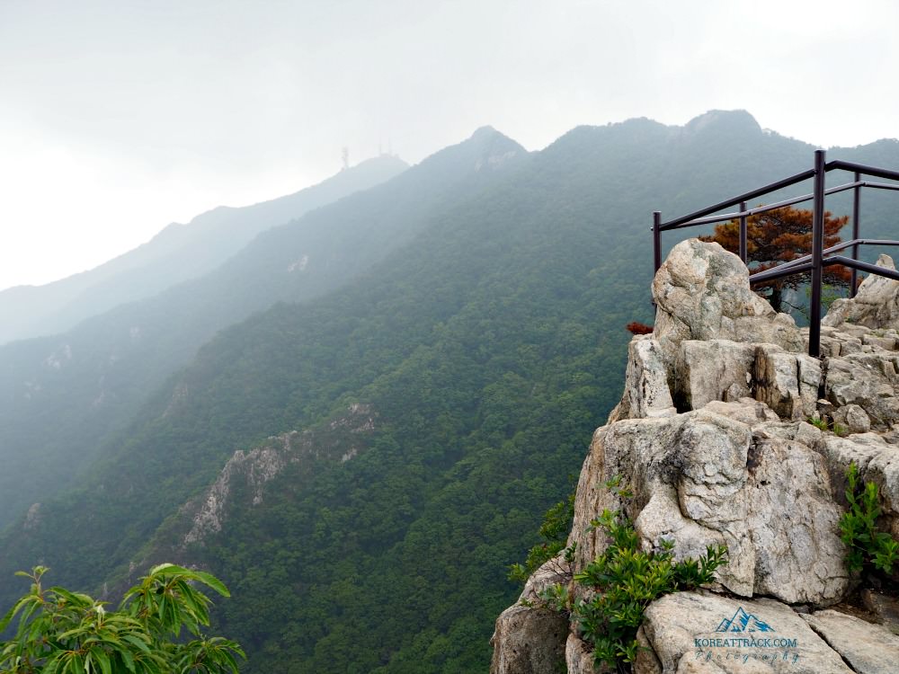 Gyeryongsan National Park - Gwaneumbong Peak
Gwaneumbong Peak is a bit distant from Sambulbong Peak--around 1.9 kilometers in total. Gwaneumbong is the highest accessible peak among the highest peaks at Gyeryongsan National Park.
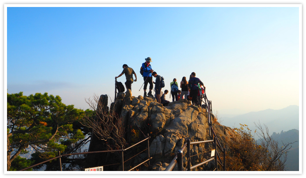
Along the way, you will see and experience thrilling and hair-raising cliff as you can see in the photo.
The steps are provided to help hikers climb the treacherous trail. Even then, the stairways are very challenging to your legs because there are hundreds of them (I didn't count).
Anyway, while climbing up the endless steps, you will already see the summit of Gwaneumbong that will give you a sense of relief while struggling to bring up your legs one step at a time.
REMINDER: You may forget everything but not your supply of water or liquids. I was carrying a 2.5 liter-water backpack.
At the summit, you will find a pavilion where you can relax and take more liquids or consume your food supply.
A picnic area is available just below the pavilion. Feel the joy on the observation deck that offers fantastic vistas of the peaks and valleys. You can see Donghaksa Temple from here.
Enjoy your selfies, groupies, or any, close to the peaks stone landmark.
Be very careful when descending from the peak as the slope is steep and rocky.
Eunseok Falls
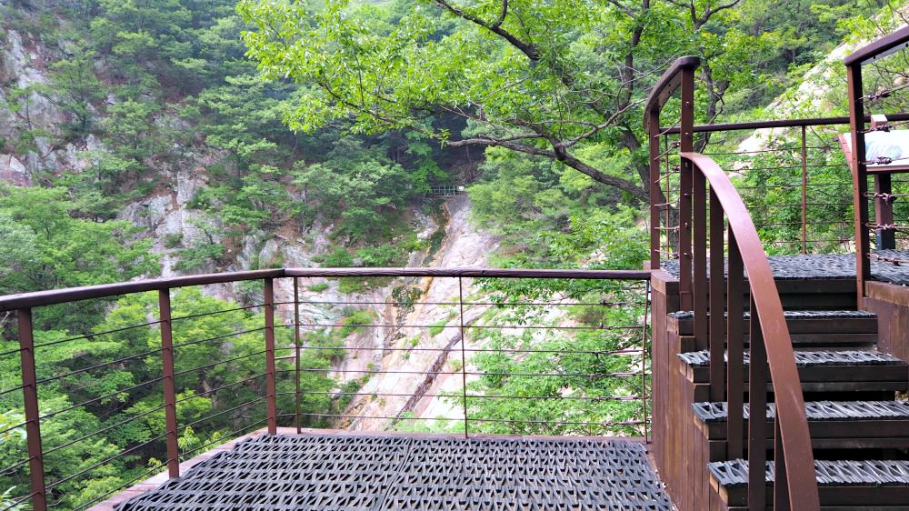 Eunseok Falls area at Gyeryongsan National Park
This Falls is somewhere midway from Gwaneumbong Peak and Donghaksa Temple area -- about 1.1 kilometers.
I suggest you visit this area during spring or water is abundant to see a more mesmerizing waterfall.
From Eunseok Falls, it will take around 30 minutes to reach the temple area. The slope is less steep, and you will start feeling excited and accomplished as you are about to complete the Gyeryongsan National Park hiking trail.
Donghaksa Temple
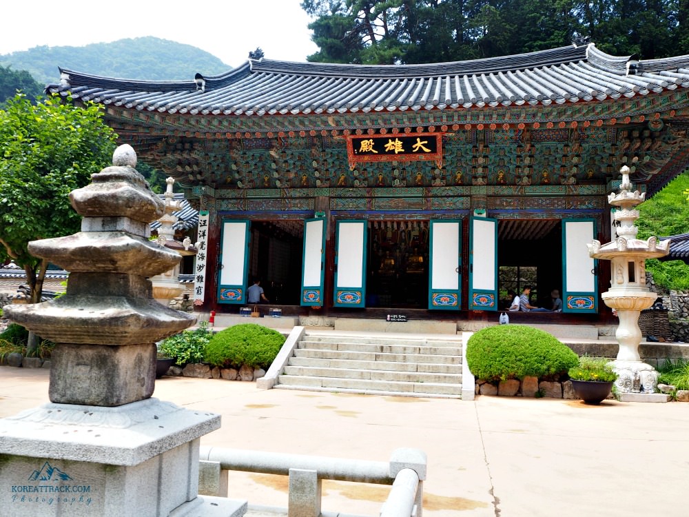 Donghaksa Temple's Daeungjeon Hall, Gyeryongsan National Park
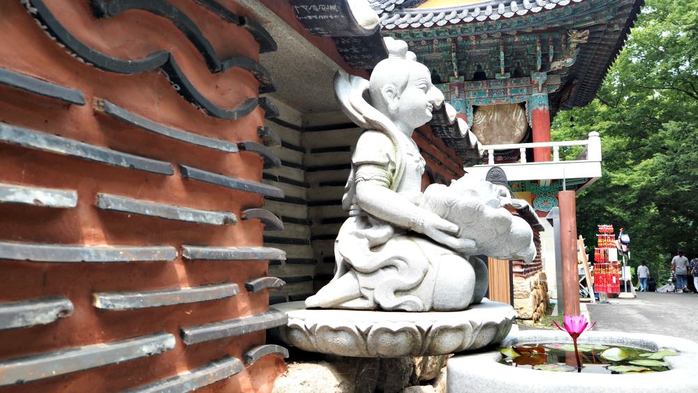 Baby Buddha
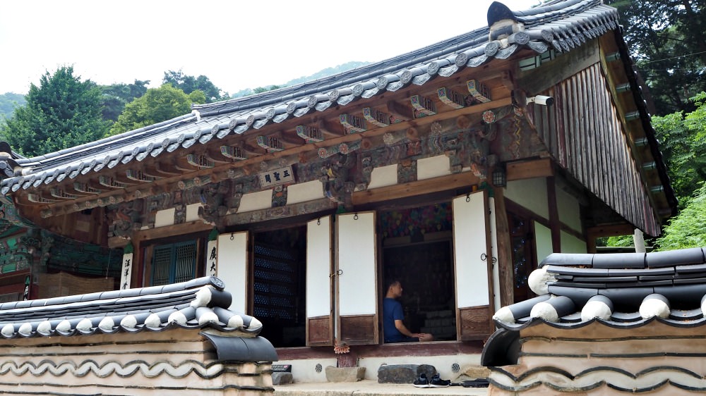 Three Sages Hall
Now, you can consider this temple area your reward for having completed your day's activity.
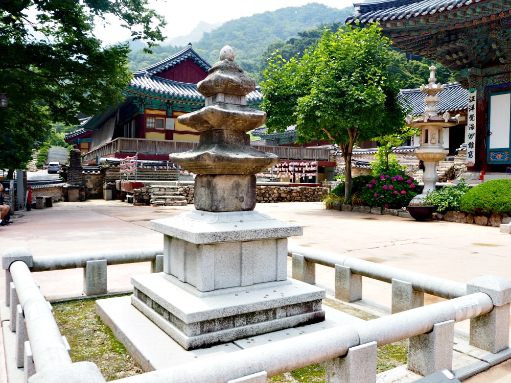
The temple has old historic background with cultural designated treasures and non-designated treasures. Explore the Buddhist arts as well as its religious atmosphere that you can feel in the air.
Bus Terminal/Parking Area
It will take around 20 minutes to get to the busy area (shops and eateries) then to the parking area and bus terminal.
Getting in and out of this park is pretty accessible.
Hope you'll visit this park and have fun with nature. Should you have specific question, please do let me know.
Thanks for reading this trail guide.
- Home
- Gyeryongsan National Park Hiking Trail
Get Exciting Activities
Book one of our exciting activities today to experience the thrill of a lifetime! Take advantage of this opportunity and secure your spot in advance.
Hotel Map Guide
Find your affordable, accessible, and comfortable hotel in Seoul at Agoda.Com. See the hotel map below...
Hotel Booking Guide
Find affordable and amazing hotels on Agoda.com using the search box below. Book now to enjoy great discounts and save!


New! Comments
What do you think about this page? Leave me a comment in the box below.